KN Surveying, LLC - Oahu

Land surveyors on Oahu - fast, reliable, accurate and friendly

Land Surveyor in Honolulu

Full Suite of Surveying Services

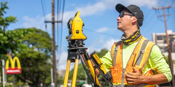
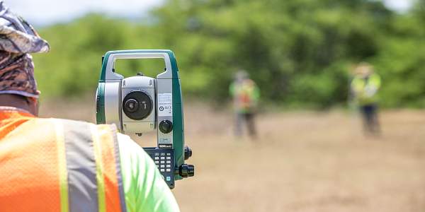
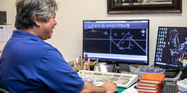
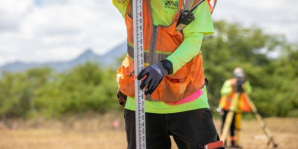
We offer a wide spectrum of land surveying services that cover every residential or commercial need that you may have. Whether you have the need for a boundary survey with relation to your property or home purchase or are shopping for a topographic survey before you begin construction, our team is highly adept at handling any task efficiently. In addition to typical surveys, we’re also highly experienced in dealing with more tedious tasks such as ALTA surveys and elevation certificates. If it involves land surveyance, we guarantee you we’re the best fit for the job. If you need a surveyor in Hawaii, contact us, now.

Boundary Surveys

We take pride in providing our expertise and experience to realtors, home owners, design professionals and contractors in need of these services. This kind of surveying will determine property lines on a piece of land to identify any easements or encroachments and is typically done prior to a purchase or when dividing or improving the land.
Order Boundary Survey
Topographic Surveying

Topographic Surveying

These kinds of surveys gather information on the elevation points of a piece of land as well as contour lines on a plot. These maps are used by architects, building contractors, and engineers.
Order Topographic Surveying
Construction Staking

Construction Staking

This service is used to mark the location of a building or road as it is laid out by a construction plan. This is generally a multi-step process that moves from Rough Grade Staking to determine a location and then moves into Site Layout Staking.
Order Construction Staking
Cadastral

Cadastral

Cadastral Surveying is mainly used to establish or re-establish real property boundaries and comes in very useful for new subdivision construction. It is essential to determine the separation of public and private land as well as provide an accurate assessment that can be used for taxation purposes.
Order Cadastral Surveying

Elevation Certificates

Elevation Certificates are primarily used in the determination of flood insurance premiums for people that live or work near a body of water. Being that we are on an island, this is something that a great number of homes and/or businesses need to have in order to safely gain coverage for their property.
Order Elevation Certificates

Additional Services

We can also provide professional services for other types of surveys such as ALTA surveys and shoreline surveys. We have recently expanded our capabilities to perform aerial surveys by use of drone through a sub-consultant. This is also the case with our ability to perform hydrographic surveys. 3D laser scanning is also available through KN Surveying, LLC.
Order Other Services

KN Surveying, LLC, Capabilities

We are a full service land surveying company capable of handling typical and some atypical surveying tasks. We currently have field personnel that allows us to mobilize a minimum of 4 field crews. Our key office personnel consist of 3 licensed professional surveyors along with project managers and experienced CAD operators. Please review our other areas of specialty.

Conventional Surveys

Manual and Robotic Total Stations-Sokkia, Trimble

GPS (GNSS) Surveys

RTK and Fast Static-Trimble R8s

3D Laser Scan

Scanning Total Station-Trimble SX10

Differential Leveling

Automatic Levels-Sokkia

Data Collection

Software Applications Utilized

  • AutoD Civil 3D
  • AutoDesk Land Desktop
  • Trimble Business Center
  • Terramodel
  • Microsoft Word
  • Microsoft Excel
  • Adobe Acrobat Pro
KN Surveying
MOST POPULAR
SERVICES   |   ORDER   |   FAQ   |   ABOUT
GET IN TOUCH
1733 Liliha Street
Honolulu, HI 96817
(808) 524-7100contact@knsurveying.com
© 2005 - 2024, KN Surveying, LLC
Website by 11 Clicks